- Description
- Details
- Map
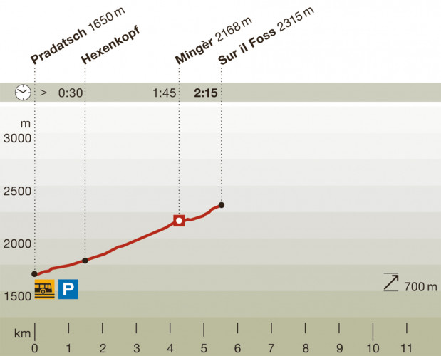
- Waypoints
Hiking trail

Open
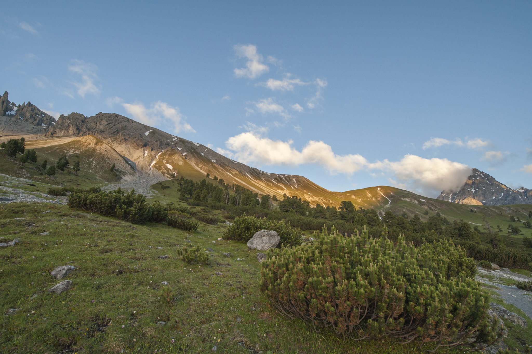
The last bear in Switzerland was shot in Val Mingèr in 1904. Unfortunately the Swiss National Park was only founded 10 years later and could not, therefore, offer any refuge for this creature.Today, however, bears roam the National Park again from time to time.
Mingèr comes from the Romansch word for miner (minier). Nowadays, there is hardly anything left of the mining industry, but the valley offers interesting opportunities to observe red deer and chamois.
Particularities
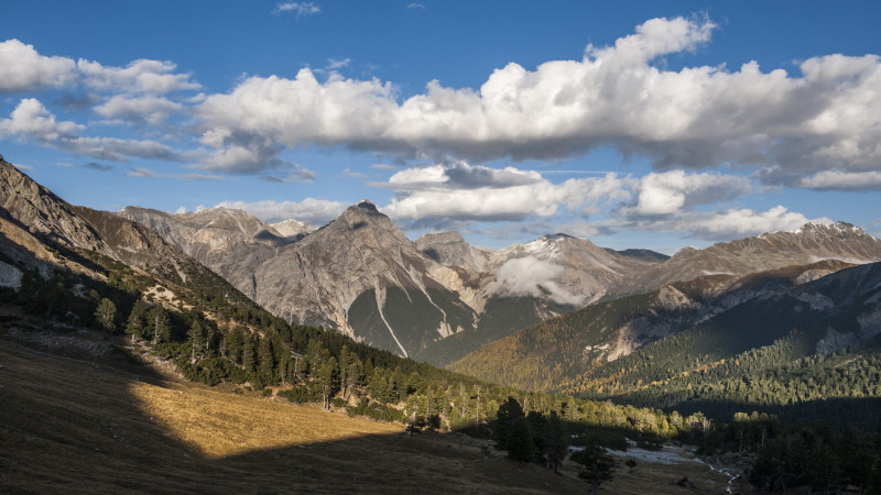
Last indigenous bear in Switzerland shot here in 1904, witch’s head rock, red deer sightings in Mingèr, panorama from Sur Il Foss. . In S-charl bear exhibition and bear trail.
Follow-up hikes
Return to the starting point or continue the hike from Sur il Foss through the long Val Plavna to Tarasp (bus stop: Tarasp, Fontana) or on Route 18 via the Fuorcla Val dal Botsch to Il Fuorn/P6.
Difficulty: white-red-white / easy
Easy hike, also suitable for children.
Arrival
Starting point can be reached by post bus (bus stops: Scuol, Val Mingèr or S-charl).
- Educational opportunity
- child-friendly
Season
June, July, August, September, OctoberRoute-information
- Length
- 5.50 km
- Vertical heigth
- 700 m
- Time required
- 2 hours 15 minutes
- Level technique
- Easy
- Level condition
- Middle
Arrival
- Starting point
- Pradatsch, Val Mingèr oder S-charl (Altitude: 1650 m)
- Arrival by public transport
- Scuol, Val Mingèr Timetable SBB
- Destination
- Sur il Foss (Altitude: 2315 m)
The offer is suitable for
- Adults
- Children < 6 years
- Children from 7-12 years
- Children >12 years
- 50+
- Families
- Groups
The offer has been particularly developed for
- First cycle (Kindergarten and 1st/2nd grade)
- Second cycle (3rd - 6th grade, primary level)
- Third cycle (1st – 3rd grade, lower secondary)
- Upper Secondary School Classes
- Association/Companies
Contact
NationalparkzentrumUrtatsch 2
7530 Zernez
Tel. +41 (0)81 851 41 41
Mobile -
www.nationalparkzentrum.ch

